|
San Pedro Valley Route Maps
for the SunZia Preferred Alternative
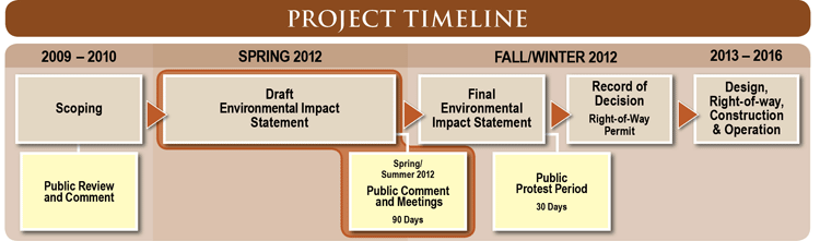
On May 25, 2012 the Bureau of Land Management released its Draft Environmental Impact Statement for the SunZia Southwest Transmission Project. While giving a general map for the proposed route, the DEIS does not provide detailed maps that can be used to evaluate the route's impact. Below are portions of three land-status maps (Forest Service and BLM) and four topographic maps in pdf format that show the route in some detail for the San Pedro Valley. Also, a kmz file is included below that can be opened in Google Earth to show the route through the San Pedro Valley to Tortolita northwest of Tucson. A similar file is available for Habimap, the Arizona Game and Fish Department's on-line GIS mapping package. These maps and files may be helpful in responding to the DEIS. Links to the DEIS are also given.
- Land Status (Forest Service and BLM) Maps: The route is marked with a red line. File size is 300-500 kb. Right-click to download and save.
- East Area
- Allen Flat to the San Pedro River crossing
- South Area
- Little Rincon Area, Paige Canyon, A-7 Ranch
- North Area
- A-7 Ranch, Buehman and Edgar Canyons, San Manuel
- U.S. Geological Survey Topographic Maps: The route is marked with a blue line. Average file size is ~2.65 MB. Right-click to download and save.
- Buehman Canyon
- northern A-7 Ranch, Buehman and Edgar Canyons
- Happy Valley
- Little Rincon Area, Gardner Mountain, McCormick Canyon, Paige Canyon
- Soza Canyon
- A-7 Ranch, Soza Canyon, Roble Canyon
- Wildhorse Mountain
- San Pedro River crossing, Redrock Creek, Little Rincon area
- Google Earth: Download (right-click and save) and open this file kmz file in Google Earth to follow the route from Allen Flat (southeast) to Tortolita (northwest).
- Habimap: To see SunZia route in Habimap,the Arizona Game and Fish Department's on-line interactive GIS software, right-click and save the following file and then go to http://habimap.org/habimap. Zoom in on the San Pedro Valley, click on "Draw Projects" at the top, and then click the folder icon on the Draw Projects menu palette. Find the file that you have downloaded, and then click "save." That will load the route into Habimap. You can then use the Layers Palette to see overlays for a variety of different databases. You also have the choice of four backgrounds: streets, imagery, topography or topographic map. The imagery in Habimap is far better than Google Earth's, and this is a far more powerful tool to use in assessing impacts.
- Link to access the SunZia Final Environmental Impact Statement:
|